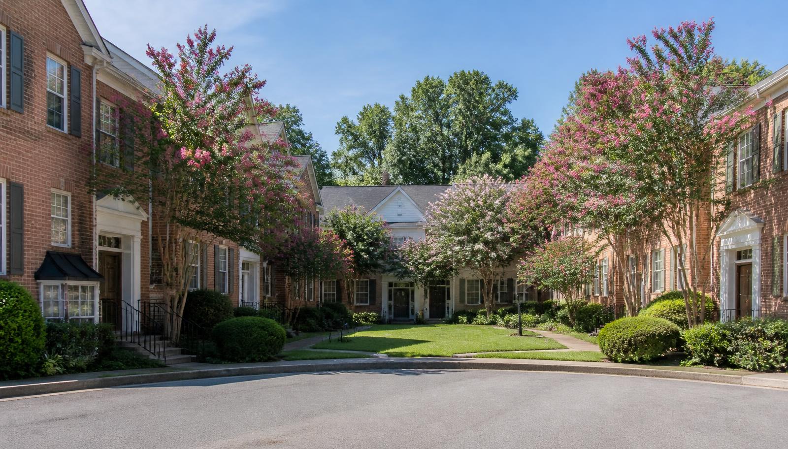
Historic pocket
Elizabeth Avenue Corridor
The diagonal spine connecting uptown to Central Piedmont Community College and Novant Health Presbyterian, lined with a mix of institutional buildings, apartments, and a shrinking stretch of early houses.
The diagonal spine connecting uptown to Central Piedmont Community College and Novant Health Presbyterian, lined with a mix of institutional buildings, apartments, and a shrinking stretch of early houses.
About Elizabeth Avenue Corridor
Elizabeth Avenue cuts diagonally across the neighborhood's western edge, following the route of the historic streetcar line that gave the district its name. Today it functions as an institutional and transit corridor as much as a residential street, anchored by Novant Health Presbyterian Medical Center at its uptown end and Central Piedmont Community College's Central Campus further east.
Housing along the corridor is a mix of surviving early-twentieth-century houses, several mid-rise apartment buildings built in the 2000s and 2010s, and a scattering of live-work and townhome infill. The scale shifts block by block: some stretches still feel residential and shaded, while others have been rebuilt around hospital parking structures and campus buildings.
The corridor's appeal is convenience rather than architectural uniformity. Residents are a short walk from the hospital, the community college, and CATS bus routes, and a quick drive from uptown. It suits people prioritizing proximity to work at the medical center or campus over the quieter, fully residential feel of the interior historic streets.
Because the corridor mixes zoning types and building eras, it is also where most of the neighborhood's larger-scale redevelopment proposals surface, and residents here should expect ongoing construction activity and periodic rezoning discussions as adjacent parcels turn over.
The corridor rewards reading block by block rather than as a single address. Between the hospital campus and the college the frontage is institutional: parking decks, service drives, medical office entrances, and the wide crosswalks that come with them. East of the campus the pavement narrows, the canopy closes back in, and a handful of early houses still hold their original porch lines behind small front yards. A buyer touring here in the morning and again at five in the afternoon will learn more about a given block than any listing description conveys, because the difference between the two is almost entirely a function of shift changes at Novant and class changes at CPCC.
Ownership on the corridor is unusually mixed for a residential guide to cover in one entry. Some buildings are condominium regimes with their own boards, budgets and reserve positions. Some are institutionally owned rentals where a resident's relationship is to a leasing office rather than a neighbour association. A few are single-family houses whose owners sit inside the same historic district review process that governs the interior streets. These are not variations in taste; they are different legal footings, and they determine who decides what happens to a building's exterior, how quickly deferred maintenance gets addressed, and whether a resident has any say in it at all.
The practical case for living on the corridor is time. A hospital employee working nights, a nursing student, a faculty member with an eight o'clock class — for these residents the walk to work is the amenity, and it is worth more than a wider lot or a fuller canopy three blocks east. The practical case against it is noise and change: sirens are routine, construction staging is periodic, and the corridor is where rezoning notices appear first because it is where the larger, assembled parcels are. Anyone who wants a decade of visual stability should look at the interior pockets instead. Anyone who wants a five-minute commute should start here and accept the tradeoff knowingly.
What defines it
- Direct walk to Novant Health Presbyterian Medical Center
- Adjacent to CPCC Central Campus
- Mixed housing stock: early houses, apartments, and infill
- Highest likelihood of near-term redevelopment in the neighborhood
Housing summary
| Type | Historic pocket |
|---|---|
| Building era | 1900s–present |
| Scale | roughly 60–90 residences plus mixed-use buildings |
| Typical range | $300,000–$700,000 (condos and townhomes) |
| Principal streets | Elizabeth Avenue, Baxter Street, Torrence Street |
Ranges are general characterizations rather than appraisals, and turnover in a market this small can move them quickly. Verify current figures against Canopy MLS and parcel records on Mecklenburg County POLARIS before relying on them.
Block by block
Streets in and around Elizabeth Avenue Corridor
Character, building era, and daily conditions street by street.
Keep exploring
Other communities and enclaves
Local representation
Looking at Elizabeth Avenue Corridor?
Condition, review requirements, and street-level differences drive value here more than any neighborhood average. Peters & Associates works Elizabeth specifically and can walk a property with you before you write an offer.
Charlotte Real Estate
Peters & Associatesyourleaderinluxury.comAdvertising disclosure. This is a paid or affiliated relationship: the firm above is affiliated with or compensates the publisher of this independent guide, and contacting it may result in a commercial engagement. It does not buy editorial placement. Full disclosure.
Questions & Answers
Frequently asked questions
Direct answers to what readers most often ask about this section of the guide. Each answer cites the primary source it rests on.
All Elizabeth questions →Is Elizabeth Avenue itself historic district property?
Portions front the historic district while others fall outside its boundary; the corridor's zoning is mixed, so any renovation or development question should start with the City of Charlotte's zoning map rather than an assumption based on the street name.
Is it noisy living on Elizabeth Avenue?
Traffic volume is higher than the interior residential streets given the hospital and college traffic, and buyers who prioritize quiet typically look a block or two off the avenue instead.
Source: City of Charlotte tree canopy and tree ordinance program
Should I expect construction near an Elizabeth Avenue address?
Plan on it. The corridor holds the neighbourhood's largest assembled parcels and its institutional landowners, so it draws more redevelopment activity than the interior streets. Before committing, check current rezoning petitions and permit filings for the surrounding block through the City of Charlotte's planning records rather than relying on what is visible on a single visit.
Source: City of Charlotte / Mecklenburg County Code Enforcement permitting
Is the corridor a reasonable place to rent before buying in Elizabeth?
It is one of the few parts of the neighbourhood with enough rental inventory to make that practical. Renting on or near the corridor gives you a year to learn the neighbourhood's rhythms, parking realities and school assignment questions before committing capital to a historic house that carries a design-review obligation.
Our Sources
How this page was researched
This guide is independently written and verified against primary public records and official organizations. It is not affiliated with, endorsed by, or representing any neighborhood association, hospital, college, school district, or governing body.
Read our full citation methodology and editorial standards- 01POLARIS 3G property and parcel records
Mecklenburg County GIS
Parcel boundaries, lot sizes, ownership, and sale history.
- 02Charlotte-region housing market reports
Canopy Realtor® Association / Canopy MLS
Regional price, inventory, and days-on-market trends.
- 03Survey and designation records for Charlotte's historic neighborhoods
Charlotte-Mecklenburg Historic Landmarks Commission
Historic designation, survey history, and landmark property records.
- 04Local historic district design standards and review process
City of Charlotte Historic District Commission
Certificate of Appropriateness requirements for exterior work.
Figures such as pricing, assessments, business hours, and school assignment change over time. Always confirm current details directly with the source before making a decision.
Topic Cluster
Elizabeth Homes & Market
Housing stock, price bands, enclaves, and street-level value.
The Elizabeth Guide — Elizabeth Homes & Market →Elizabeth Homes & Real Estate
Housing stock, price bands, and how this small historic market actually trades.
Continue →Elizabeth Neighborhood, Charlotte NC
The whole neighborhood on one page: place, history, architecture, district, market, and daily life.
Continue →Elizabeth Market Data
Price per square foot, inventory, and what drives value street to street.
Continue →Communities, Buildings & Enclaves
Every pocket, condo building, and infill community in and around Elizabeth.
Continue →Local Expertise
Work with the firms behind this guide
Last reviewed August 1, 2026. This guide keeps no contact form and no inbox — inquiries go directly to the firms below.