Living in Elizabeth
Transit & Commuting
The streetcar, the buses, the interstate, and what getting around Elizabeth without leaning entirely on a car really looks like.
Elizabeth's location — a compact, walkable neighborhood immediately east of uptown Charlotte — is one of the main reasons people move here, and transit is where that location pays off most directly. It is not a car-free neighborhood. It is a car-light one, where a resident's actual dependence on a vehicle depends heavily on which streets they live on, where they work, and how much they're willing to plan around a bus or streetcar schedule rather than a car's.
The CityLYNX Gold Line streetcar
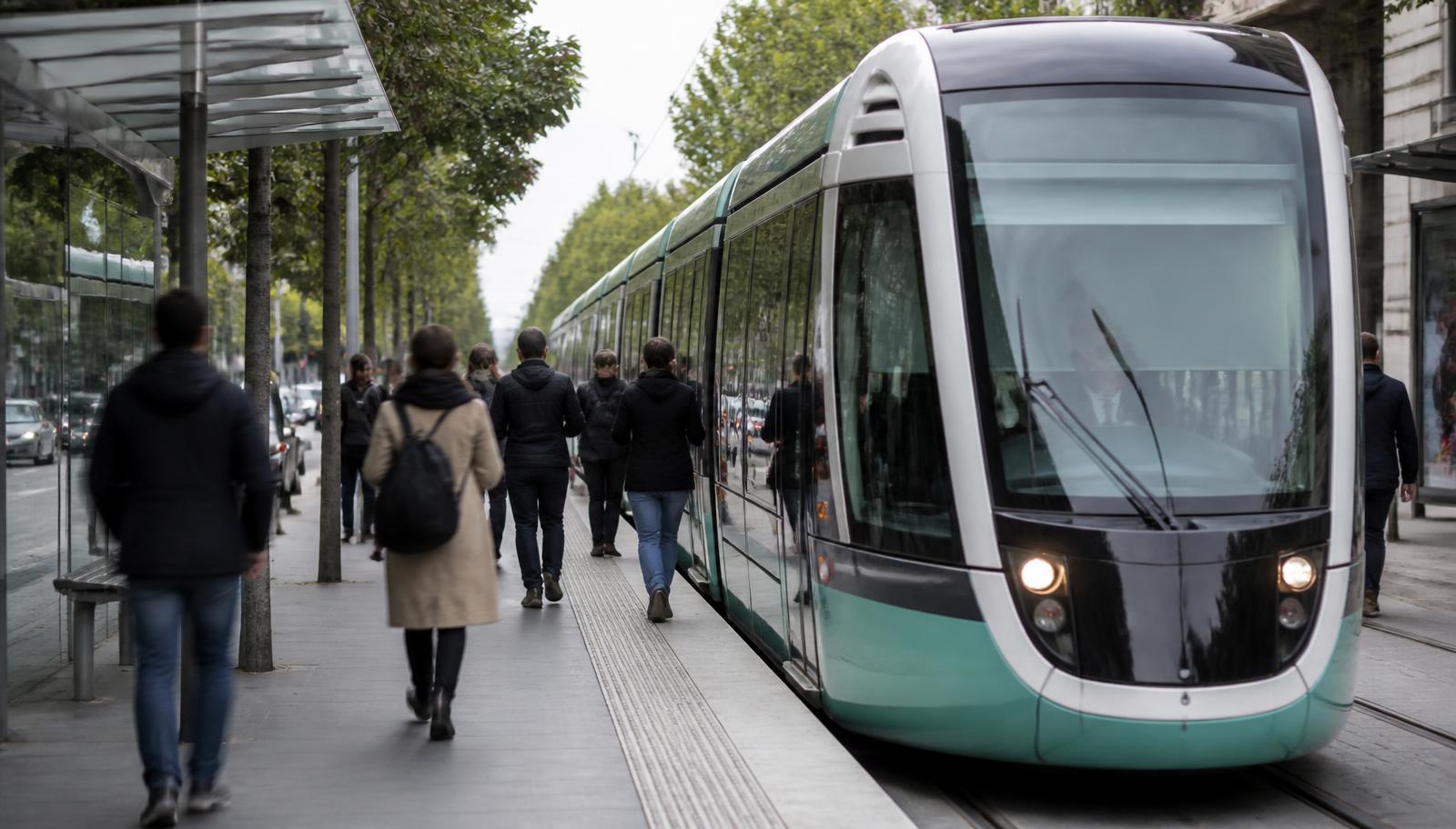
The Gold Line streetcar runs along Elizabeth Avenue and Hawthorne Lane, linking the neighborhood to uptown Charlotte on one side and to Central Piedmont Community College's Central Campus and neighborhoods further east on the other. For residents who live or work along that corridor, the streetcar turns a fifteen- or twenty-minute walk-and-wait errand into a shorter, scheduled one. It is not a substitute for a car for most households, but it materially reduces how often the car needs to move on a given week. Current route extent, stop locations, and service frequency should always be checked against CATS's published schedule (ridetransit.org) rather than assumed, since transit service details change.
CATS bus routes
A handful of CATS local bus routes serve the corridors bordering Elizabeth — Hawthorne Lane, Central Avenue, Elizabeth Avenue — generally feeding into uptown or connecting to other in-town neighborhoods. Bus service in Charlotte, as in most mid-size American cities, works best as a commute tool along a fixed corridor and less well for spontaneous, multi-stop errands. Residents who rely on the bus tend to be the ones whose daily destinations — a job uptown, a class at CPCC, an appointment at one of the hospital campuses — sit directly on a served route.
More on getting around
Driving uptown, to the airport, and along I-277
For drivers, Elizabeth's advantage is proximity rather than a direct interstate on-ramp inside the neighborhood. Independence Boulevard and the I-277 loop around uptown are both a short drive from most of the neighborhood's streets, putting uptown itself within a few minutes outside of peak congestion and the rest of the region's highway network within easy reach beyond that. There is no direct rail or streetcar line to Charlotte Douglas International Airport; the trip is a drive or rideshare via I-277 and I-485, and travel time swings with traffic, so residents flying out typically build in a buffer rather than timing it tightly.
Charlotte's park-and-ride facilities cluster along the outer light-rail and bus-rapid-transit corridors rather than inside Elizabeth itself, which makes sense given how close the neighborhood already sits to uptown — most residents either drive straight in or use the streetcar and bus network instead of a separate park-and-ride step. Anyone planning a regional commute that starts from Elizabeth should confirm the nearest current facility against CATS's map rather than assume one exists nearby.
What car-light living actually looks like here
In practice, the households who use a car the least in Elizabeth are usually the ones who work uptown or at one of the neighborhood's two adjoining institutions — the Presbyterian medical campus or CPCC's Central Campus — and who live within a few blocks of Elizabeth Avenue or Hawthorne Lane. For everyone else, a car remains the default for grocery runs to a full-size store, most medical specialists, and any job outside the immediate corridor. The honest framing is that Elizabeth reduces car dependence rather than eliminating it, and the degree of reduction is set by the specific block, not the neighborhood as a whole.
Relocating in
Commute pattern should shape which block you buy on
A house four blocks from the streetcar and one four blocks from Independence Boulevard live very differently day to day. Peters & Associates can walk the commute trade-offs street by street before you commit.
Charlotte Real Estate
Peters & Associatesyourleaderinluxury.comAdvertising disclosure. This is a paid or affiliated relationship: the firm above is affiliated with or compensates the publisher of this independent guide, and contacting it may result in a commercial engagement. It does not buy editorial placement. Full disclosure.
Questions & Answers
Frequently asked questions
Direct answers to what readers most often ask about this section of the guide. Each answer cites the primary source it rests on.
All Elizabeth questions →Does the CityLYNX Gold Line streetcar run through Elizabeth?
Yes. The Gold Line streetcar runs along Elizabeth Avenue and Hawthorne Lane, connecting the neighborhood to uptown Charlotte, Central Piedmont Community College's Central Campus, and neighborhoods to the east. Confirm current stops, hours, and frequency with CATS before planning a trip around it.
Source: City of Charlotte tree canopy and tree ordinance program
Can you live in Elizabeth without a car?
Some residents manage with a single car or none at all, especially those working uptown or at the Presbyterian medical campus. Groceries, dining, the park, and the streetcar are within walking distance of much of the neighborhood, but errands outside the immediate corridor — big-box shopping, most employers, many medical specialists — still favor a car.
Source: City of Charlotte tree canopy and tree ordinance program
What bus routes serve Elizabeth?
Several CATS local bus routes run along or near Hawthorne Lane, Central Avenue, and Elizabeth Avenue, generally feeding uptown and the surrounding neighborhoods. Route numbers and schedules change periodically, so check ridetransit.org for the current map before relying on a specific line.
Source: Charlotte Area Transit System — routes and the Gold Line streetcar
How far is uptown Charlotte from Elizabeth?
Elizabeth's western edge sits roughly a mile from the uptown core. Driving, biking, streetcar, and bus are all realistic options depending on where in the neighborhood a trip starts and where uptown it ends.
Source: City of Charlotte tree canopy and tree ordinance program
How do you get to Charlotte Douglas International Airport from Elizabeth?
There's no direct rail or streetcar connection to the airport. Most residents drive or use a rideshare, routing via I-277 and I-485 or local arterials; drive time varies with traffic and time of day, so building in a buffer for a flight is wise.
Source: City of Charlotte tree canopy and tree ordinance program
Is there park-and-ride access near Elizabeth?
Charlotte's park-and-ride network is concentrated on the outer light-rail and bus-rapid-transit corridors rather than directly in Elizabeth, which sits close enough to uptown that most residents drive in directly or use the streetcar and local bus routes instead. Check CATS's current facility list for the nearest option.
Source: City of Charlotte tree canopy and tree ordinance program
Our Sources
How this page was researched
This guide is independently written and verified against primary public records and official organizations. It is not affiliated with, endorsed by, or representing any neighborhood association, hospital, college, school district, or governing body.
Read our full citation methodology and editorial standards- 01Transit routes, the Gold Line streetcar, and commute planning
Charlotte Area Transit System
Streetcar, bus, and rail options serving the neighborhood.
- 02Unified Development Ordinance and zoning maps
City of Charlotte
Zoning districts, setbacks, height, and permitting rules.
- 03POLARIS 3G property and parcel records
Mecklenburg County GIS
Parcel boundaries, lot sizes, ownership, and sale history.
Figures such as pricing, assessments, business hours, and school assignment change over time. Always confirm current details directly with the source before making a decision.
Topic Cluster
Living in Elizabeth
Dining, parks, schools, transit, and the daily rhythm of the neighborhood.
The Elizabeth Guide — Living in Elizabeth →Walkability & Getting Around
What is genuinely walkable from each block, and what still needs a car.
Continue →Elizabeth Avenue
The neighborhood's main street: streetcar, college, restaurants, and redevelopment.
Continue →Moving to Charlotte
Relocation logistics, taxes, employers, and why Elizabeth wins in-town buyers.
Continue →Living in Elizabeth
The daily rhythm — porches, dog walks, the park loop, and dinner four blocks away.
Continue →Local Expertise
Work with the firms behind this guide
Last reviewed August 1, 2026. This guide keeps no contact form and no inbox — inquiries go directly to the firms below.