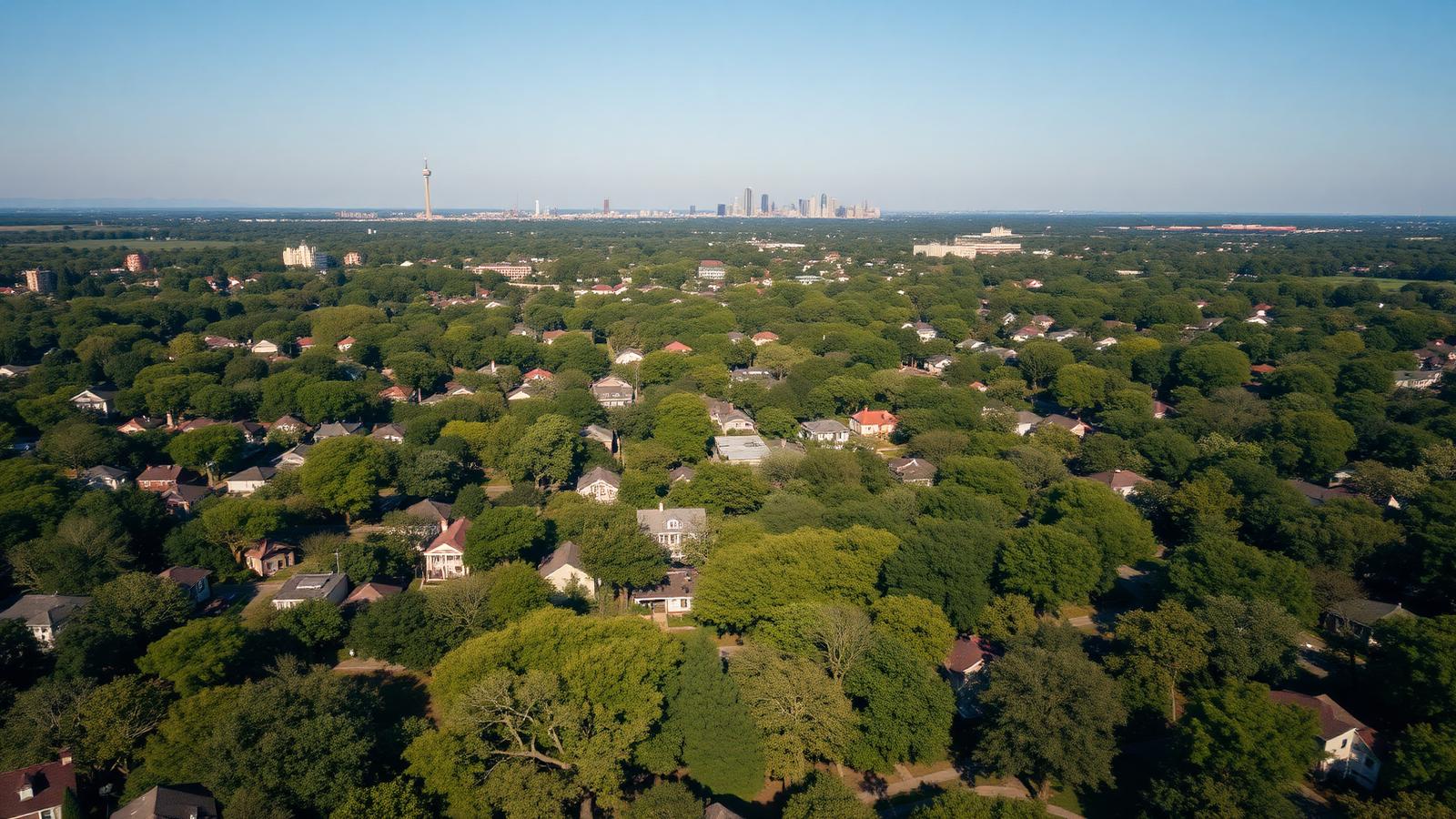
Orientation
Map of Elizabeth, Charlotte
An interactive map of the neighborhood's landmarks, plus the boundaries, corridors, and distances that explain how Elizabeth actually fits together.
Elizabeth is small, and that is the first thing a map makes clear. You can cross it on foot in well under half an hour, and its character shifts noticeably as you do — from the institutional edge near the hospital campus and Central Piedmont, through the dense bungalow blocks, out to the quieter eastern streets near the Chantilly line. Use the live, pannable map below to locate the landmarks, then read the orientation notes that follow.
Loading the Elizabeth map…
Boundaries and edges
Elizabeth's edges are defined by corridors rather than by walls, and each one gives the neighborhood a different neighbor:
- West. The Independence Boulevard and Kings Drive corridor, with the Little Sugar Creek Greenway running alongside it, separates Elizabeth from uptown and Midtown.
- South and southwest. The Atrium Health medical campus and the Cherry and Midtown areas.
- East. Chantilly, which shares Elizabeth's building era but not its historic district review — the comparison is drawn out on our Elizabeth vs. Chantilly page.
- North. The Seventh Street corridor and the transition toward the Commonwealth and Plaza Midwood side of the east side.
Two boundaries matter and they are not the same. The neighborhood as residents describe it is broader than the locally designated historic district, which was drawn around the concentration of contributing structures. Design review follows the designated boundary, parcel by parcel — so a house two blocks from a protected streetscape may face entirely different rules. Always verify a specific address.
The streets that organize the neighborhood
- Elizabeth Avenue. The historic main street and the spine of the commercial edge — the college, the restaurant cluster, and the Gold Line streetcar. See the Elizabeth Avenue guide.
- East Seventh Street. The main east-west route through the northern half, carrying traffic between uptown and the east side.
- Fifth Street and the residential grid. The interior blocks where the bungalow-and-foursquare streetscape is most intact.
- Hawthorne Lane. A north-south connector past churches and institutional buildings, crossing toward the Chantilly side.
For block-level detail on age, scale, and how each street trades, work through the street-by-street guide.
Distances and access
Elizabeth's location is its most durable advantage: it is close enough to uptown to make a car optional for commuting and far enough out to be a low-density residential neighborhood of single-family houses. The medical campus and Central Piedmont are within the neighborhood's own footprint, so for a meaningful number of residents work is a walk. Airport and highway access run through the uptown and Independence corridors; the transit guide covers routes and typical drive times, and the relocation guide puts the geography in the context of the wider city.
Green space and gathering points
Independence Park anchors the neighborhood's open space as Charlotte's first public park, with the Little Sugar Creek Greenway along the western edge providing a continuous north-south walking and cycling route. Smaller pocket greens and the park loop do most of the daily work. Read the parks and greenways guide and the Independence Park page for detail.
Using this map when you shop
Three practical habits, in order of usefulness. First, check the designated-district status of any parcel you are serious about, because it changes what you can build. Second, walk the specific block at the time of day you would actually be home — the difference between the hospital-adjacent blocks and the eastern residential streets is substantial. Third, verify lot dimensions and structure facts against Mecklenburg County POLARIS instead of relying on a listing description.
Continue reading
Orient yourself further
The pages that turn the map into a working knowledge of the neighborhood.
Local representation
Want to see these blocks in person?
A map settles geography; it cannot tell you how a block feels at seven in the evening. Peters & Associates works these streets daily and can walk you through the differences between one end of the neighborhood and the other.
Charlotte Real Estate
Peters & Associatesyourleaderinluxury.comAdvertising disclosure. This is a paid or affiliated relationship: the firm above is affiliated with or compensates the publisher of this independent guide, and contacting it may result in a commercial engagement. It does not buy editorial placement. Full disclosure.
Questions & Answers
Frequently asked questions
Direct answers to what readers most often ask about this section of the guide. Each answer cites the primary source it rests on.
All Elizabeth questions →Where exactly is Elizabeth in Charlotte?
Elizabeth sits immediately east of uptown Charlotte, in ZIP code 28204. Its western edge faces the Independence Boulevard and Kings Drive corridor separating it from uptown, with the Little Sugar Creek corridor along that side; Seventh Street and Elizabeth Avenue run through it east to west. Chantilly lies to its east, Cherry and Midtown to its south and southwest, and Plaza Midwood beyond Chantilly to the northeast.
Source: City of Charlotte tree canopy and tree ordinance program
What are the boundaries of the Elizabeth historic district?
The locally designated historic district does not cover every parcel that people call Elizabeth. Designation was drawn around the concentration of contributing historic structures, so blocks at the neighborhood's edges may sit outside it. Because the practical consequences — design review before exterior work — apply parcel by parcel, verify a specific address against the Charlotte Historic District Commission and Charlotte-Mecklenburg Historic Landmarks Commission maps rather than a neighborhood outline.
Source: Charlotte Historic District Commission — design standards
What ZIP code is Elizabeth Charlotte in?
28204. That ZIP also covers adjacent areas, so a 28204 address is not by itself proof that a property is in Elizabeth, let alone inside the designated historic district.
How far is Elizabeth from uptown Charlotte?
Roughly a mile and a quarter from the neighborhood's core to the center of uptown — a short drive, an easy bike ride, and a walk that many residents make regularly from the western blocks. Travel time varies with the Independence Boulevard and Kings Drive crossings more than with distance.
Is Elizabeth walkable, and to what?
From most Elizabeth blocks, the walkable set includes the Elizabeth Avenue restaurant cluster, Independence Park, the Little Sugar Creek Greenway, the Atrium Health medical campus, Central Piedmont's main campus, and several long-established churches. What is walkable changes sharply from the western blocks to the eastern ones, which is why walking the specific block you are considering matters more than any single score.
Source: Mecklenburg County greenways — Little Sugar Creek Greenway
Our Sources
How this page was researched
This guide is independently written and verified against primary public records and official organizations. It is not affiliated with, endorsed by, or representing any neighborhood association, hospital, college, school district, or governing body.
Read our full citation methodology and editorial standards- 01POLARIS 3G property and parcel records
Mecklenburg County GIS
Parcel boundaries, lot sizes, ownership, and sale history.
- 02Survey and designation records for Charlotte's historic neighborhoods
Charlotte-Mecklenburg Historic Landmarks Commission
Historic designation, survey history, and landmark property records.
- 03Local historic district design standards and review process
City of Charlotte Historic District Commission
Certificate of Appropriateness requirements for exterior work.
- 04Parks, greenways, and recreation directory
Mecklenburg County Park and Recreation
Independence Park, greenway access, and nearby recreation.
- 05Transit routes, the Gold Line streetcar, and commute planning
Charlotte Area Transit System
Streetcar, bus, and rail options serving the neighborhood.
Figures such as pricing, assessments, business hours, and school assignment change over time. Always confirm current details directly with the source before making a decision.
Topic Cluster
Living in Elizabeth
Dining, parks, schools, transit, and the daily rhythm of the neighborhood.
The Elizabeth Guide — Living in Elizabeth →Elizabeth Street-by-Street
What each street looks like, when it was built, and how it trades.
Continue →Walkability & Getting Around
What is genuinely walkable from each block, and what still needs a car.
Continue →Communities, Buildings & Enclaves
Every pocket, condo building, and infill community in and around Elizabeth.
Continue →Charlotte NC 28204
The ZIP code guide: which neighborhoods it covers, housing, costs, schools, transit, and review.
Continue →Local Expertise
Work with the firms behind this guide
Last reviewed August 1, 2026. This guide keeps no contact form and no inbox — inquiries go directly to the firms below.